

Garmin 010-C0731-00 VUS030R G3 Vision Southeast Caribbean
Can't find the exact part? Request it and we'll source it for you.
Product Highlights
Description
Garmin VUS030R Vision G3 Southeast Caribbean
Model: 010-C0731-00- Derived from official charts and private sources to provide navigational aids, spot soundings, depth contours, tides and currents, and detailed harbors and marinas
- Garmin Auto Guidance technology shows a suggested route to a destination1
- Depth Range Shading for up to 10 depth ranges enables you to view your target depth at a glance
- Up to 1-foot contours provide a more accurate depiction of the bottom structure for improved fishing charts and navigation
- Shallow Water Shading feature allows for depth shading at a user-defined level to aid in navigation
- Unique 3D views like MarinerEye and FishEye provide additional perspective both above and below the water line
- High-resolution satellite imagery of ports, marinas, bridges and navigational landmarks for superior situational awareness
- Worldwide coverage available
- Keep your charts up to date with our industry-leading New Chart Guarantee and discount card update program
Auto Guidance technology quickly calculates a suggested route using your boat's dimensions and a suggested path to follow.
Displays high-resolution Depth Range Shading for up to 10 depth ranges so you can view your designated target depth.
BlueChart g2 Vision HD features 1-foot contours that provide a more accurate depiction of bottom structure for improved fishing charts and enhanced detail in swamps, canals and port plans.
Provides a 3-D representation of the ocean floor as seen from below the waterline.
Provides a 3-D representation of the surrounding area both above and below the waterline.
High-resolution satellite imagery with navigational charts overlaid gives you a realistic view of your surroundings so you can navigate with a clear moving-chart representation of your boat's position. It's our most realistic charting display in a chartplotter.
Crystal clear aerial photography shows exceptional detail of many ports, harbors and marinas and is ideal when entering unfamiliar ports.
Covers the Caribbean from Haiti to Trinidad & Tobago including Puerto Rico and all of the Lesser Antilles. Also includes the Colombian and Venezuelan coasts from Barranquilla, Colombia to the mouth of the Orinoco River, including Lake Maracaibo and the Gulf of Paria.
Specifications| Yes | |
| Depth Range Shading | Yes |
| Shallow Water Shading | Yes |
| Navigational aids, spot soundings, depth contours, tides and currents and detailed harbors and marinas | Yes |
| g2 Vision HD | |
| 1 feet HD Contours | Yes |
| Depth Range Shading | Yes |
| Shallow Water Shading | Yes |
| Navigational aids, spot soundings, depth contours, tides and currents and detailed harbors and marinas | Yes |
| Auto Guidance | Yes |
| 3-D Views (MarinerEye and FishEye) | Yes |
| High Resolution Satellite Imagery | Yes |
| Aerial Photography | Yes |
| Detailed coastal roads up to 5 miles inland | Yes |
Specs
- Brand
- Garmin
- SKU
- GJQ-39310
- Category
- Charts & Cartography
- Weight
- 0.04 lbs
- Dimensions
- 86.0 x 6.0 x 0.5
- Price
- $295.00
- Availability
- In stock
- Rating
- 4.4 / 5.0
Contact
You May Also Need
 In stock
View Product
In stock
View Product
Garmin
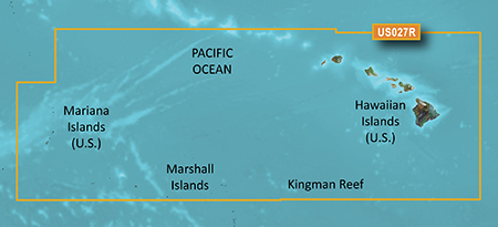
Garmin 010-C0728-20 HXUS027R G3 Micro SD Hawaiian and Mariana IslandsSKU: O05-40356
 In stock
View Product
In stock
View Product
Garmin
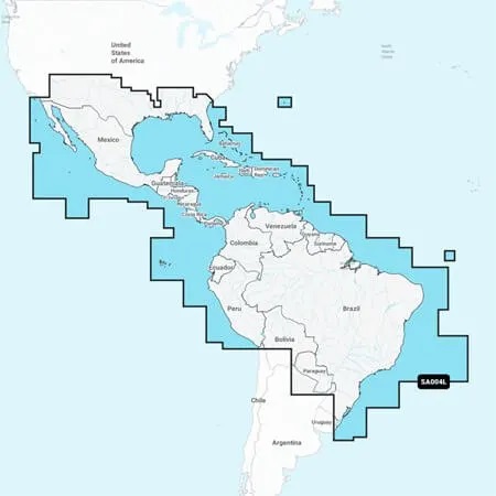
Garmin 010-C1285-20 NSSA004L Navionics+ Mexico to Brazil MicroSDSKU: MWA-83728
 In stock
View Product
In stock
View Product
Garmin
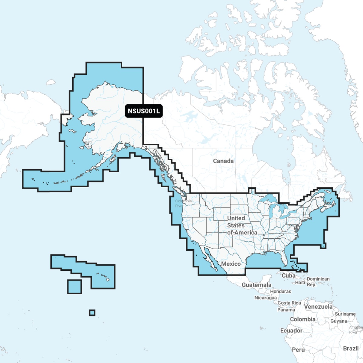
Garmin 010-C1287-20 NSUS001L Navionics+ U.S. & Coastal Canada MicroSDSKU: RYH-18560
 In stock
View Product
In stock
View Product
Garmin
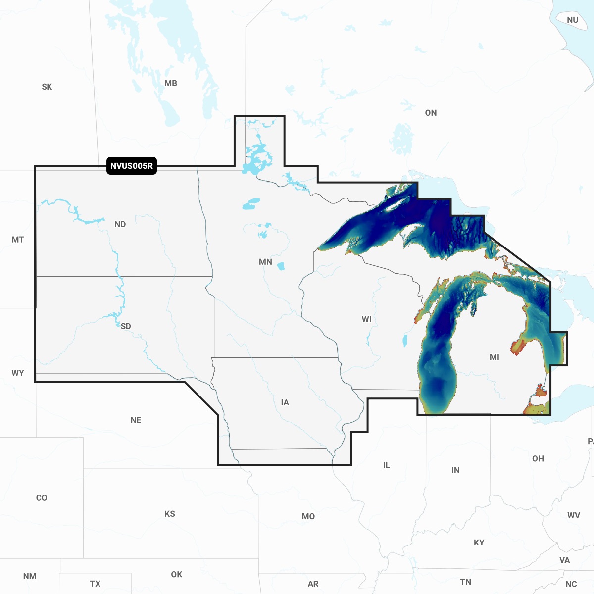
Garmin 010-C1289-00 NVUS005R Navionics+ Vision+ U.S. North MicroSDSKU: GIF-64084
Need help finding the right part?
Fill out a request and our team will get back to you shortly.